MACHAME ROUTE 7 DAYS | |||||
| Participants | 1 | 2-4 | 5-7 | 8-10 | 11- |
Price (USD per person) | $ 2700 | $ 2120 | $ 2025 | $ 1975 | $ 1910 |
Machame Route: This is the most popular camping route on mountain Kilimanjaro and it is located on the southern part of the mountain. This route is very scenic and it has a gradual ascent. You can climb it in 6 days or 7 days depending on your time and budget.
Getting there: The drive to Machame gate is about 45 minutes from Moshi and it crosses the cultivation zone. You can see numerous of villages, coffee, and banana farms on your way to the gate. Once you arrive at the gate we go through the registration process, obtaining the necessary permits, after which hiking can start at an altitude of 1800m.
7 Days Machame Climb
Climbing Machame in 7 days is very comfortable, and it provides enough time for acclimatization. No camp is skipped, and the route follows the pattern of hiking to a high altitude during the day and sleeping at a lower altitude at night.
Day 1 to Machame Camp (2835m)
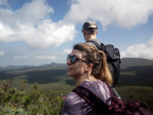
The first part of the 11 km trail from Machame Gate at 1800m to Machame Camp follows a gravel road and is very easy to walk. It is a gradual ascent, not steeep. You cross the rainforest and along the way, you might see black and white colobus monkeys as well as blue monkeys. After a short lunch break, the trail gets steeper and the forest gets thinner. If the weather conditions allow it, you will get a nice view of your ultimate destination, Kibo Peak, at the end of the day.
Day 2 to Shira Cave (3750m)
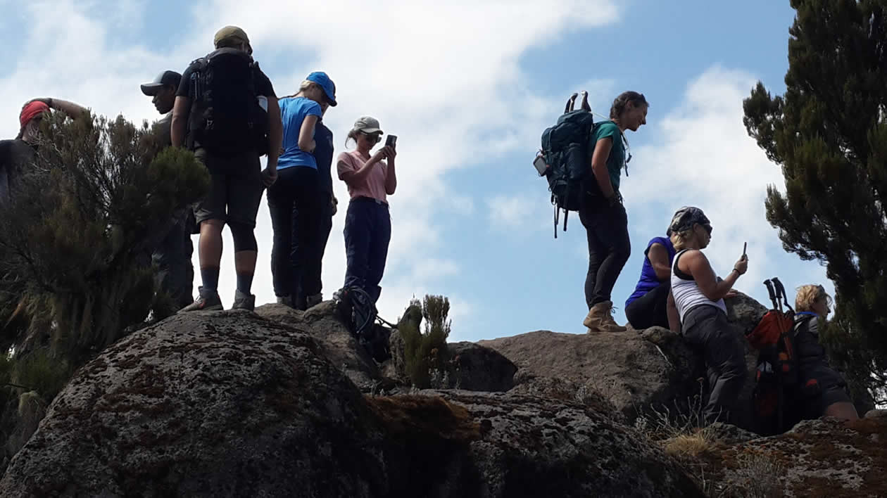
The way from Machame Camp to Shira Camp is only 5 km apart, but quite steep at the beginning. It leads through the moorland zone of the mountain. There are several viewpoints with a nice view of Mt. Meru, the forest you walked through on day 1, and Shira and Kibo Peaks.
After reaching the camp you can optionally take a short walk of about 45 minutes to 1 hour for acclimatization and a nice view of the sunset.
Day 3 to Baranco Camp 3940m:
The way from Shira Cave to Barranco Camp is 10 km long and will take 6-7 hours, including lunch. In the beginning, it will be a gradual walk to the junction point where the Lemosho and Shira Routes merge with ours. We walk straight to Lava Tower (4600m), a 150m high volcanic lava plug that juts out of the side of the mountain. The lunch will be at Lava Tower, rest for a few minutes then descend down to Barranco Camp.
Day 4 to Karanga Camp 3995m:
From Baranco camp to Karanga camp it takes 3 – 5 hours covering a distance of 6 km. You will cross the 300 m high Barranco Wall. The peak of the wall is at 4200 m elevation. This part is challenging because the trail is narrow and the number of hikers, porters, and guides is large. In some places, you have to use your hands for climbing. You will cross the famous place called Kissing Rock. Shorty before Karanga Camp you will cross the Karanga Valley at 3930 m which is the last point where porters can fetch water.
Day 5 to Barafu Camp 4673m:
It will only take 3 to 4 hours to the cover distance of 4 km from Karanga to Barafu Camps. It is a steep walk and walking slowly (“pole pole”) is recommended for acclimatization. You will be in the alpine desert and on the left side you can see Kibo Peak. A few meters before Barafu Camp, you will cross the section occupied with sedimentary rocks. Barafu Camp is without a water supply camp so our team will be carrying water from Karanga Valley.
Day 6: Uhuru Peak to Mweka Camp
You will wake up around 11:00 pm, for some tea and snacks and dress warmly for the summit. At 12:00 am you will start your summit attempt, walking on steep rocks for about 2 to 3 hours. Then you will start crossing the zigzag area and keep moving to the crater rim and finally, Stella Point, 5756m. Arriving there around 06:00 am. This is the most mentally and physically challenging portion of the trek.
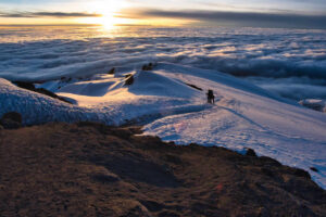
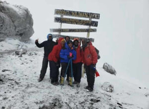
At Stella Point 5756m, you will stop for a short rest and will be rewarded with the most magnificent sunrise you are ever likely to see (weather permitting). From Stella Point, you may encounter snow all the way on your 1-hour ascent to the summit. At Uhuru Peak 5895m, you have reached the highest point on Mount Kilimanjaro and the continent of Africa. Faster hikers will see the sunrise from the summit.
From the summit, we now make our descent continuing straight down to the Mweka Hut camp site, stopping at Barafu for short rest and brunch. We then continue the descent via Mweka Route passing Millennium Camp 3797 m. The way is steep, and it just takes only 2-3 hours to cover the 4 km to Millennium Camp. You will pass from the alpine desert to the moorland zone.
From Millennium Camp to Mweka Camp 3100 m is also a steep walk which takes 2 – 3 hours covering 3.5 km. You will cross the moorland to the forest zone and on the way, you will see Protea Kilimandscharica and Red Hot Poker and various other species of flowers and plants.
Day 7 to Mweka Gate (1640m) and Drive to Moshi:
Mweka Camp to Mweka Gate: It is a long and steep downhill walk of about 10km which takes about 4-5 hours. The rainforest floor is wet and slippery, requiring careful and slow walking. You are again in the rain forest where you will see various species of flowers like Impatiens Kilimanjari and different tree species. Also if you have a sharp eye, you might see blue monkeys and black and white colobus monkeys.
At the Mweka Gate:
Once you reach Mweka Gate you go through a sign-out procedure. Our guide will collect certificates for those who successfully climbed to Stella Point or Uhuru Peak. Then we will drive you via Mweka village to your hotel in Moshi/Arusha for nice shower and enjoyment.